Wet and Stormy Spring Forecast for Much of Australia
- admin928749
- Aug 13, 2025
- 2 min read

Weatherzone is warning that spring is shaping up to be unusually soggy, thanks to some abnormally warm sea temperatures around the country. That extra warmth means more moisture in the air — and more chances for downpours, thunderstorms, and even flooding when the new season kicks off next month.
Spring in Australia is normally a mix of warmer days and more storm activity ahead of the northern wet season, but this year there’s another factor in the mix: a negative Indian Ocean Dipole (IOD) is expected to form to the northwest of the country in the coming weeks. This weather pattern pushes moisture-laden air towards mainland Australia, often bringing above-average rainfall to the south and southeast.
On top of that, ocean waters around Australia are tipped to stay warmer than usual through spring, feeding extra atmospheric moisture for rain and cloud cover.
Forecasters aren’t expecting a La Niña or El Niño to take hold — instead, conditions are likely to sit in a “neutral phase” over the next few months.
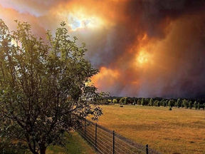
The forecast isn’t the same everywhere though. While much of eastern and southern Australia should brace for damp conditions, parts of the north and west could see an unusually dry spring paired with hotter-than-average days. Some models even suggest maximum temperatures there could be in the top 20% of historical records — a setup that could ramp up bushfire risks as the dry season wraps up.
In the south and east, heavier cloud cover will keep daytime temperatures feeling cooler than normal for spring, even as we edge closer to summer. So for many, it’s looking like wet skies and mild days are here to stay for a while yet.
Stay tuned with Aus News Lanka – the leading platform for news for Australians.


Comments